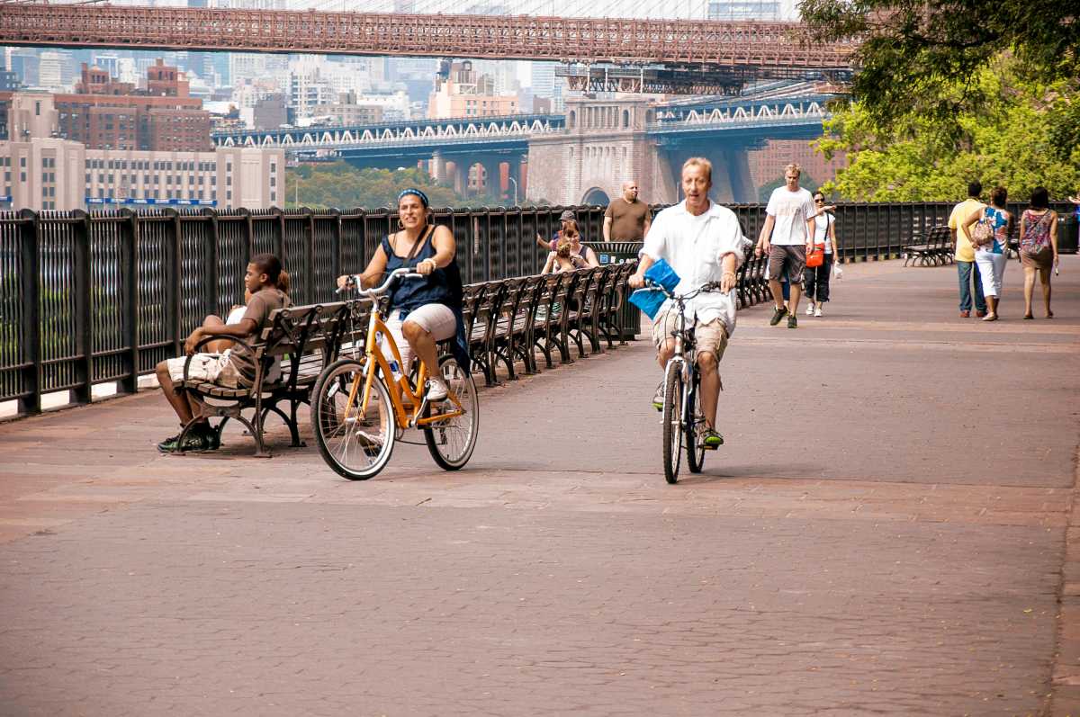
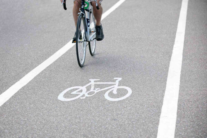
Brooklyn has claimed the top spot as the best large U.S. city for biking — and it’s no accident. According to this year’s PeopleForBikes national city ratings, the borough’s safe, connected and low-stress bike network sets it apart.
“Brooklyn has an awesome bike network that allows people to get where they want to go,” Grace Stonecipher, PeopleForBikes’ infrastructure analytics and research manager, said. “There are a few different factors that lead to this, including low speed limits, the presence of a lot of bike infrastructure, including off-street paths and protected bike lanes specifically.”
This year marks the first time individual New York City boroughs were assessed separately. Manhattan and Queens both cracked the top 10, with scores of 51 and 63, respectively. But it was ultimately Brooklyn that earned the top score of 73.
“When you look at the maps, you can actually see that Brooklyn has more bike lanes and infrastructure than a lot of the other boroughs,” Stonecipher said.
Speed limits = safer streets
One factor that pushed Brooklyn ahead: a 25 mph residential speed limit. But that number is only part of the equation.
“You can have a posted limit of 25, but it might be designed in a way that makes people feel like they can drive much faster,” Martina Haggerty, vice president of infrastructure for PeopleForBikes, said.
She also emphasized that design matters just as much as speed limits. “If it’s a high-volume road with multiple vehicular lanes, we still want to see that separation where the protected bike lane is possible.”
Lower speed limits don’t just affect cyclists.
“What we found is that reducing the speed at which cars are traveling is one of the most effective ways to make streets safer for everyone — crashes decrease, fatalities decrease and injuries go down,” Haggerty said.
How is the best U.S. city for biking measured?
To determine which large U.S. cities are most bikable, researchers use a tool called the Bicycle Network Analysis. The model maps every road in a city, assesses the presence of quality bike infrastructure and labels streets as either “low stress” or “high stress.”
It then analyzes how easily residents can bike from home to essential destinations without braving high-stress roads.
Brooklyn ranks well because so many of those everyday destinations are accessible by low-stress routes. The highest-scoring areas are grocery stores, parks and K-12 education centers.
The city ratings offer a feature that allows users to open a map and zoom in on different neighborhoods, filtering bike infrastructure. Most areas in Brooklyn remain in the 90th percentile for bike access.
What can other large cities learn from Brooklyn?
The answer is strategic planning.
“In New York, the streets plan requires 50 miles of protected bike lanes to be built each year,” Stonecipher said. “That kind of long-term planning is crucial; it ensures that the city builds a network, not just disconnected lanes here and there.”
Biking builds community, too
Beyond safety and access, biking plays a surprising role in strengthening society. A German study found that cyclists are more likely to vote, know their neighbors and participate in community organizations.
“When you’re riding your bike, you’re not behind glass in a bubble in a car, you’re on the street. You’re saying hello to your neighbors, you’re noticing and interacting with other people on the street and local businesses on the street in a way that you don’t get in a car,” Haggerty said.
Whether for commuting or connection, Brooklyn’s bike-forward approach offers a model for other cities aiming to improve both safety and community life.