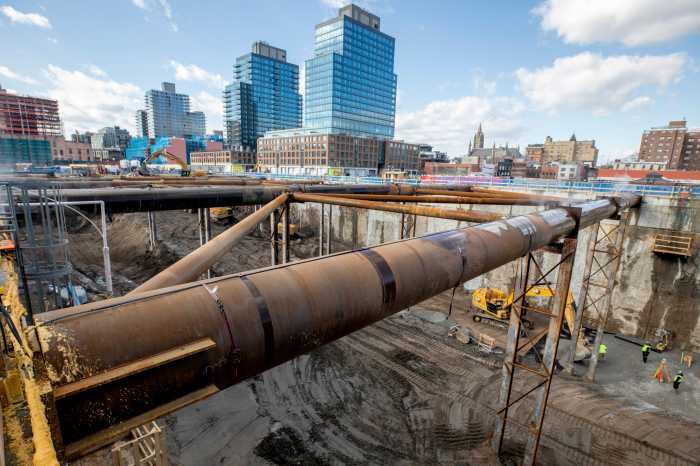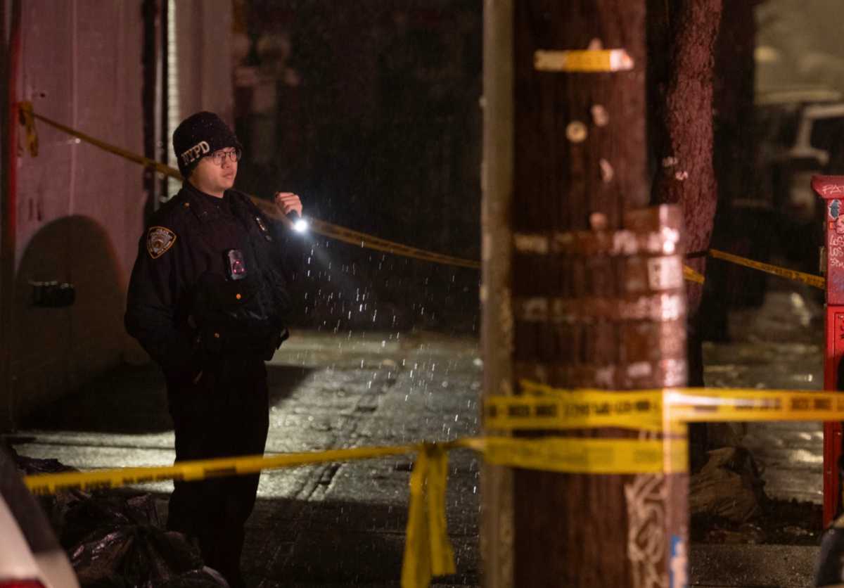
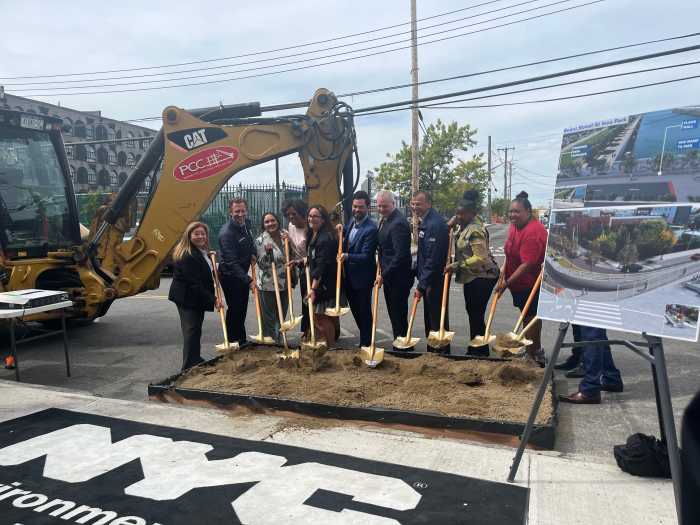
Officials on Tuesday broke ground on the years-in-the-making Red Hook Coastal Resiliency Project, a series of flood walls and other measures meant to protect the low-lying neighborhood from coastal flooding.
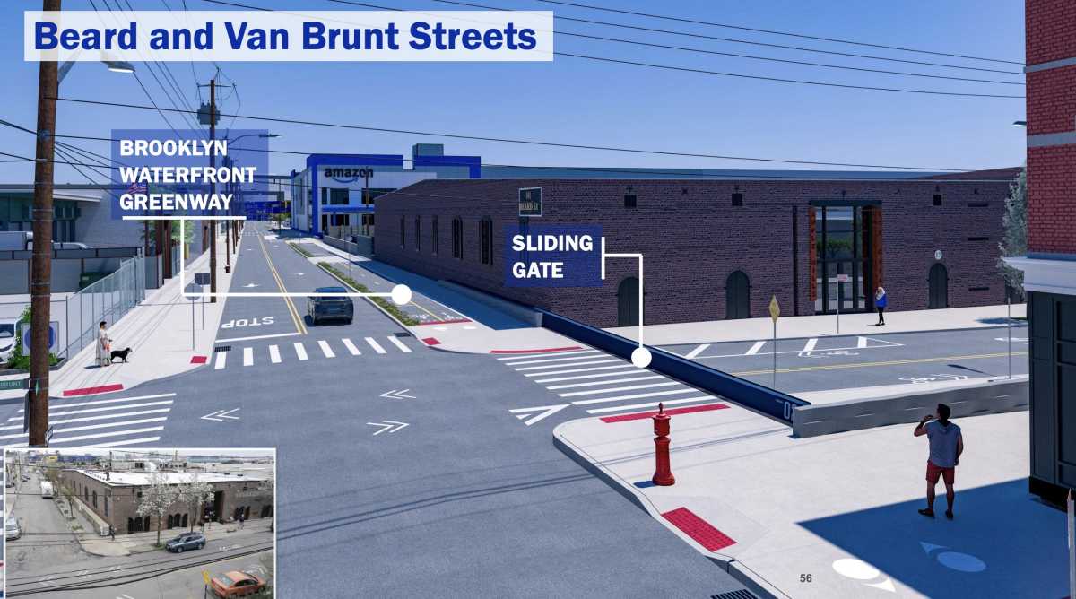
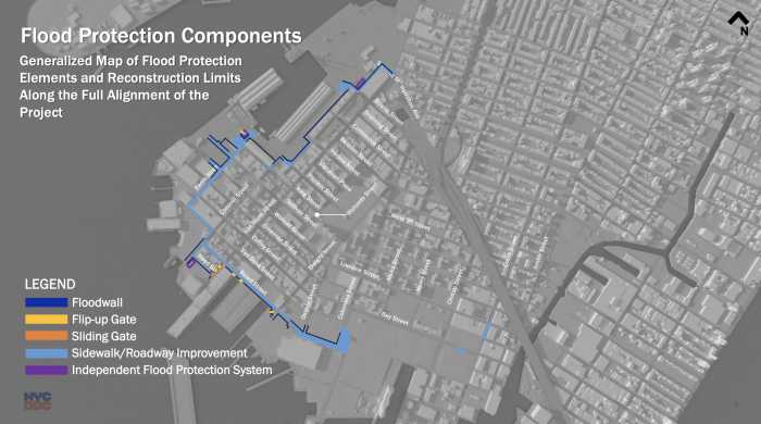
The $218 million project will line the outer edges of the neighborhood, with almost 1.5 miles of flood walls and eight deployable flood gates along parts of Columbia and Ferris streets near Atlantic Basin and on Beard and Reed streets. A number of local streets will be re-graded and raised up to three feet, an effort to provide passive flood mitigation in a neighborhood that sits only a few feet above sea level at its lowest point.
“The Red Hook Coastal Resiliency Project will deliver meaningful protection against storm surges caused by climate change,” DEP commissioner Rohit Aggarwala said at Tuesday’s groundbreaking ceremony. “It’s designed to improve stormwater management and sustainability while maintaining Red Hook’s neighborhood character.”
Surrounded by water on three sides, Red Hook is vulnerable to both stormwater flooding and coastal storm surge.
The area was devastated by Superstorm Sandy in 2012 as floodwaters inundated most of the neighborhood, killing 44 people and destroying dozens of homes and businesses. In 2021, Hurricane Ida wreaked havoc on Red Hook, as did the remnants of Hurricane Ophelia in 2023.
As climate change causes sea levels to rise and brings more frequent, more intense storms, the issue is only expected to worsen. RHCR was not designed to hold back flooding from a storm as intense as Sandy, a “100-year-storm” with a 1% chance of occurring in any given year, but to protect against the more frequent, less severe “10-year storms.”
Where implemented, the project will protect against floodwaters up to ten feet above sea level. “Passive” elements — the street regrading and flood walls, which will rise up to five feet tall, will provide constant protection against flooding up to eight feet above sea level.

The flood gates, tucked away when not in use, will be deployed during larger storms, and can hold back flooding at up to ten feet above sea level. New York City Emergency Management and the mayor will work to determine when the gates need to be used on a storm-by-storm basis, Aggarwala told Brooklyn Paper, and will deploy DEP crews to Red Hook to manually raise or roll out the gates.
“There is no more important time than now to do this,” Aggarwala said. “A couple of years ago, the federal government reclassified New York City from the coastal temperate climate zone to the subtropical climate zone — a reminder that while we’ve stayed in the same place, our climate has changed to the extent that it’s basically moved us several hundred miles to the south.”
The project was first pitched by then-mayor Michael Bloomberg in 2013, after Sandy, and was officially commissioned by Bill de Blasio in 2015. Design, community outreach, and layers of approvals took years. In 2021, the city hoped construction on the RHCR would start in 2024.
In addition to flood protection, the RHCR will add 1.2 miles of protected bike lanes to the Brooklyn Waterfront Greenway, upgrade the waterfront park at IKEA, and overhaul Todd Triangle near the Red Hook ball fields. Sewers will also be upgraded with additional capacity for stormwater.
Construction is expected to be completed in 2028.
Karen Blondel, a longtime Red Hook resident and president of the Red Hook Houses West tenant association, said the project is a “vital investment” in the safety and stability of the neighborhood.
“This project is more than just flood protection,” she said. “It is about safeguarding our homes, our businesses, and our families. It’s about building stronger infrastructure, creating a more sustainable future, and ensuring that Red Hook is prepared for the challenges ahead.”
But some residents are skeptical. Though the project surrounds large parts of the neighborhood, the areas outside the flood walls — like Van Brunt Street beyond Reed Street and the Food Bazaar supermarket — will be left largely unprotected.
“There’s nothing going on on this street,” said local artist Deborah Ugoretz, gesturing down Van Brunt Street at the large brick buildings that house dozens of businesses and artists’ studios.
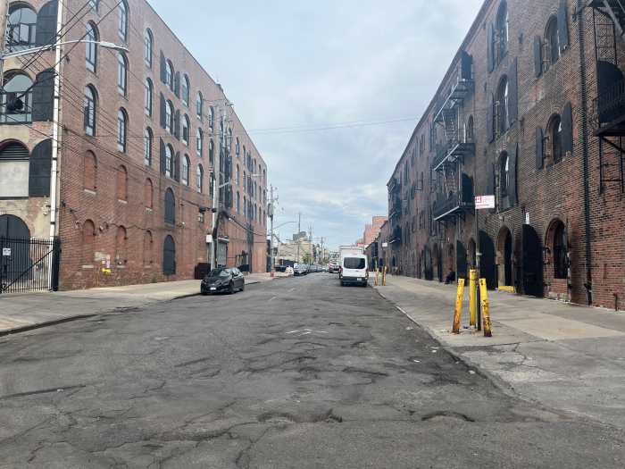
She felt the city was “totally ignoring an area that desperately needs new flood mitigation.” Some locals fear that businesses outside the floodwall will get flooded more severely because water will be stopped by the wall and back up toward the shoreline.
Aggarwala said the project had to balance the neighborhood’s desire for waterfront access with its need for flood protection. There are areas left unprotected, he said, but they had to be considered in context with the needs of the entire neighborhood.
“I think it is the reality of climate change, and particularly coastal resilience,” he said. “We are not going to be able to protect every single location in New York City.”
To that end, the city has previously offered a voluntary buyout and relocation program for properties damaged by Hurricane Sandy, and plans to launch another similar program as part of PlaNYC.
“The world is changing around us, and some things are just in the wrong place,” Aggarwala said.