
Snow long!
Mother Nature blasted Brooklynites with an early afternoon storm on Wednesday that pummeled the borough with massive globs of falling frozen stuff well into the evening. But by daybreak on Thursday, the blanket of white already started to melt away into slush as clear sunny skies shone above the Borough of Kings.
Locals braced for nearly a foot of the snow ahead of the storm — a weather pattern our friends at the National Weather Service dubbed “thundersnow,” because of its layers of unstable air that increased snow formation while causing enough electric charge separation to generate lightning.
But the blizzard, which lit up the sky outside this newspaper’s winter-weather bureau in America’s Downtown with a jolt of lightning not long after it began, hadn’t even left half that amount as it started to calm around 9 pm Wednesday, when about 4.1 inches of powder had fallen in Sheepshead Bay — the weather service’s highest-recorded amount in the borough.
And unlike during January’s thrilling “Bomb Cyclone,” which froze much of Kings County for a day as nearly a foot of snow fell while commuters stayed home from work and kids from schools, Brooklynites went about business as usual as the thundersnow careened from the sky, because Mayor DeBlasio did not close city learning houses or send youngsters home early due to the storm.
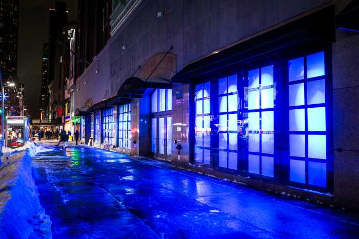
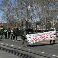
But the nor’easter still made for some memorable moments, which our intrepid photographers captured before the white stuff started to disappear.