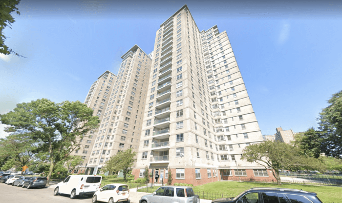
Residents of Coney Island’s Warbasse Houses are blasting the most recent City Council maps, claiming the current redistricting plans will tear the Mitchell-Lama affordable cooperative housing development in two.
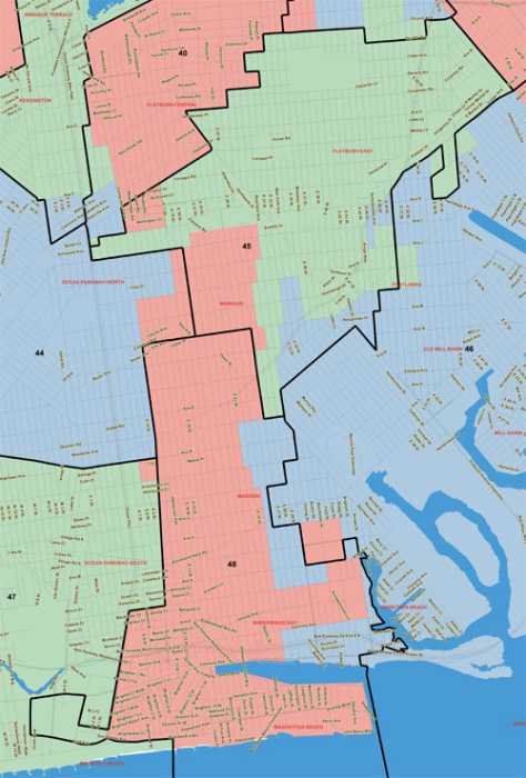
The new maps, approved Oct. 6 by the New York City Districting Commission, will see the Warbasse Houses — a nearly two-block housing development bordered by West 5th and West 6th streets and Mitchell Wesson Place and Sidney Jonas Walk — split between council districts 47 and 48. The complex is currently a part of District 47, where buildings one through three will remain if the new maps are finalized. Under the new maps, buildings four and five would sit in District 48.
Residents fear this will minimize their bargaining power with their local city councilmembers, as they’ll no longer be a major voting bloc for candidates leading up to Election Day.
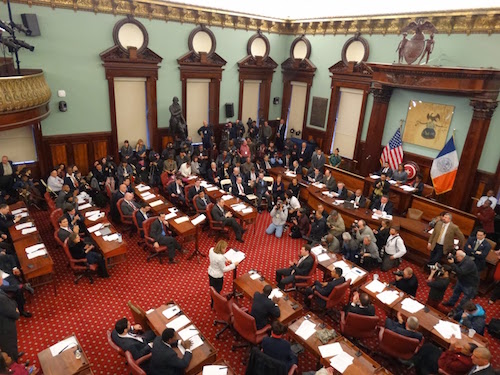
After receiving a 13-1 vote in favor from the Districting Commission, the maps are now headed to the City Council for final approval. During the commission’s Oct. 6 meeting, members said the new shape of District 47 was meant to make room for the city’s new Asian-American majority District 43.
“The shape of this district results from the creation of a new District 43 with a new Asian-American population voting rights district which is adjacent to 47 and other districts in that area,” said commissioner John Flateau.“There is a small corridor that now connects, runs through Bath Beach and Dyker Heights to connect to Bay Ridge to balance out the total population for District 47.”
New district lines run through Warbasse Houses
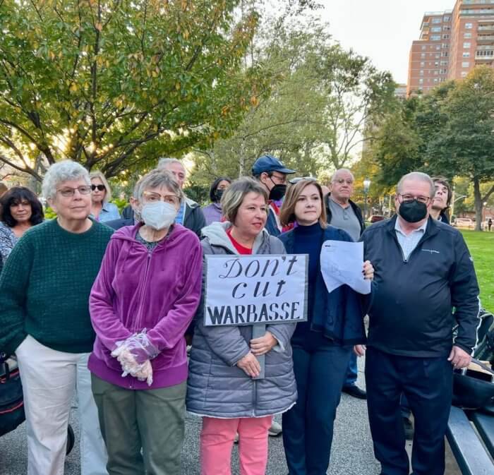
Some of the complex’s roughly 8,000 residents fear the split will come with a price.
“The fact when Warbasse needs something, all of our electeds come together, that’s the real message, so regardless of who we are going to for the thing, all of our electeds weigh in,” said Rose Weber, adding that, although they receive help on the city, state and federal level, oftentimes, the most important piece to the puzzle is the city councilmember.
Council District 47 currently comprises the neighborhoods of Bensonhurst, Gravesend, Coney Island, and Sea Gate. Under the new map, it would instead connect Coney Island to Bay Ridge, through a one-street tunnel — 86th Street — and run through Bensonhurst and Dyker Heights.
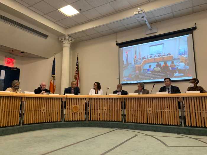
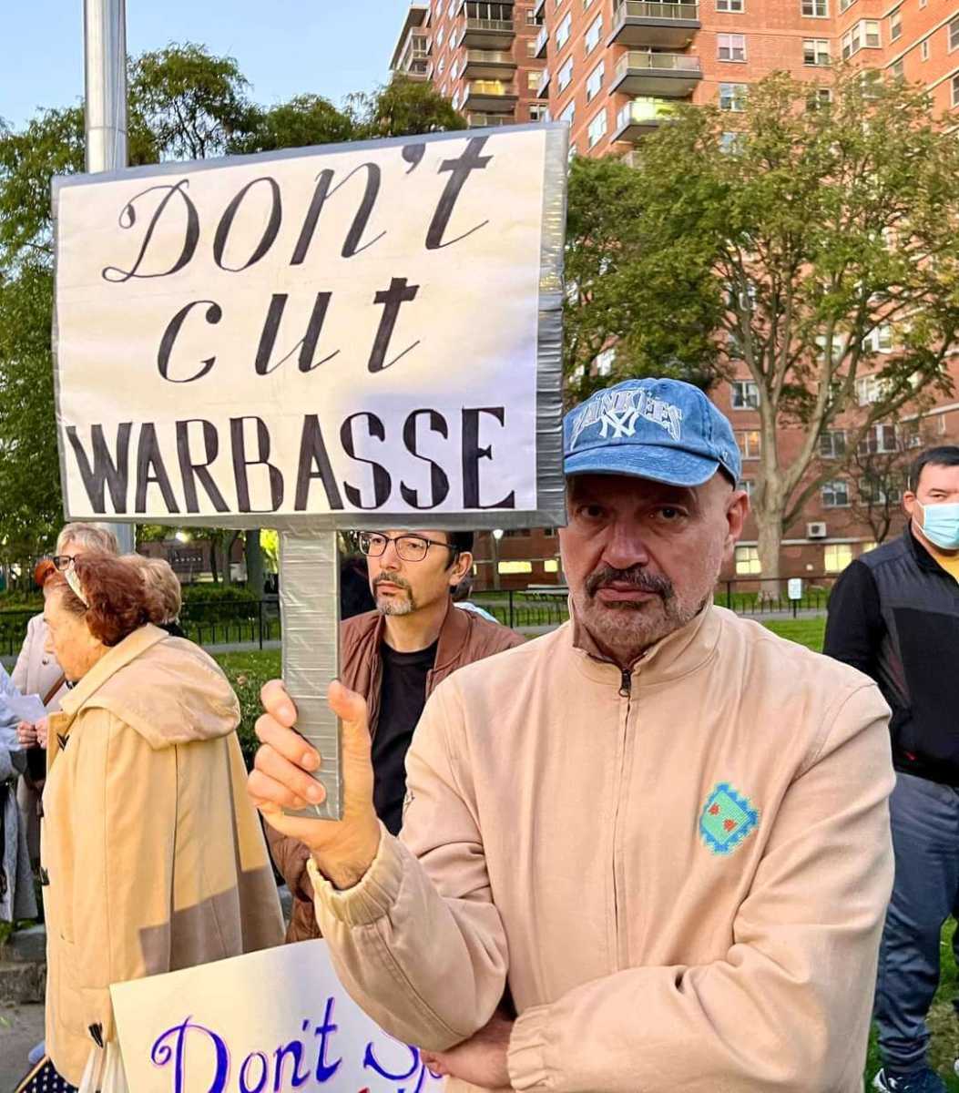
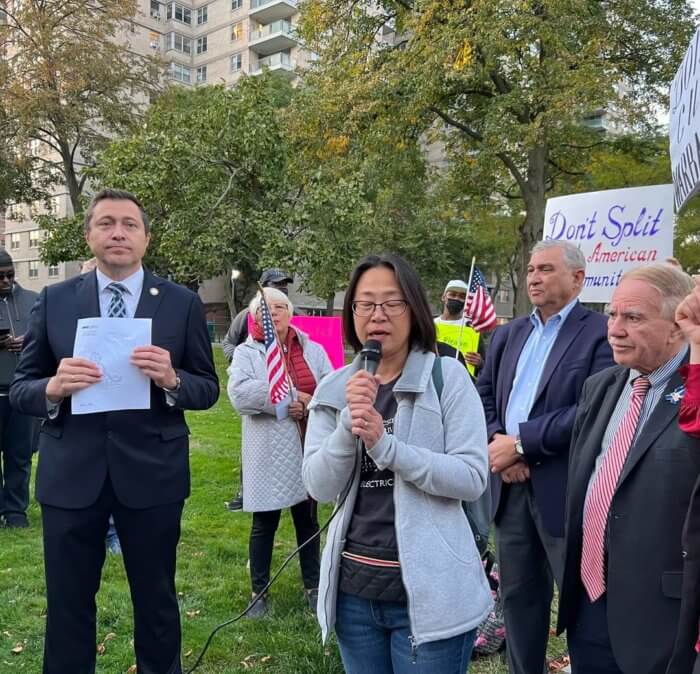
Councilmember Ari Kagan, who represents the current District 47, charged that the new boundaries make little to no sense at an Oct. 12 rally outside the Warbasse Houses. He specifically decried the “long tunnel” that will connect Coney Island and Bay Ridge — two neighborhoods with a completely different set of needs.
“They connected very different neighborhoods. Bay Ridge is a low-rise, middle-class, private houses community mostly,” Kagan said. “Different issues, different problems, different demographics, different socioeconomic status.”
Bay Ridge is currently a part of the 43rd Council District, represented by Councilmember Justin Brannan. The district — which includes Dyker Heights and parts of Bath Beach and Bensonhurst — is set to become the new Asian-majority district, spanning parts of Sunset Park, Bensonhurst and Bath Beach.
“It’s practically impossible to connect Bay Ridge and Coney Island in one district, so what did they do, they connect it through a 5.5 miles corridor, we call it a tunnel,” Kagan said. “They split southern Brooklyn in half.”
Weber said that some of her fellow residents believe that the lines may have been drawn in error as the commissioners might have not known the boundaries of Warbasse Houses, which has also resulted in incorrect population estimates.
Either way, she told Brooklyn Paper, the commission should unite the complex.
“If it was an error, the error needed and needs to be corrected,” Weber said. “I understand that … it may have been difficult to recalculate and do some redistributions but that’s not Warbasse’s problem.”
Before the final tally on Oct. 6, one mayoral appointee to the commission — Joshua Schneps, chief executive officer and co-publisher at Schneps Media (which publishes Brooklyn Paper) — attempted to solicit votes for an amendment that would unite the Coney Island complex, though his efforts were ultimately unsuccessful.
‘Oddly-shaped district’ splits other communities
Warbasse residents aren’t the only ones in dismay over the recent redrawing of lines. Advocates for an Asian-American majority district are not satisfied with the current proposal, as it carves out a section of Eighth Avenue in Sunset Park — a major commercial corridor for the Asian community, where a large number of community members are concentrated.
“The Eighth Avenue section has the highest concentration of Asians and they will be divided between District 38 and District 43,” the Asian Wave Alliance wrote in an Oct. 11 press release. “The southern appendage of D38 is a clear cannibalization of the Asian community, and should instead be kept whole with D43.”
The group’s statement went on to admonish the effects their reinvented Asian-American majority district has had on other catchments in southern Brooklyn — specifically Dyker Heights being represented by a Staten Island councilmember, and the contentious Coney Island-Bay Ridge “tunnel.”
“Finally, we see that the creation of the Asian district has required adjustments to all adjacent districts. It is unfair that 3,000 of our neighbors in Dyker Heights would have to drive over the Verrazzano Bridge and pay $16 to meet with their councilmember in Staten Island where the other 98% of the district resides,” the advocacy group added. “Lastly, we can’t help but notice the forced joining of Bay Ridge with Coney Island through a one-block corridor in Dyker Heights. This oddly shaped district looks like a Frankenstein of communities that have little in common and splinters marginalized communities, particularly ones in the southern section.”
The city Redistricting Commission did not respond to requests for comment. The city council is expected to approve the map or make changes and send it back to the redistricting commission this week.