Locals gave ’em L, and they listened!
City and state officials on Dec. 13 released long-awaited plans for how the 400,000 daily L-train riders will get around during the looming 15-month closure of the subway’s underwater Brooklyn-to-Manhattan tunnel, just one week after North Brooklynites rallied demanding answers from them.
The city’s Department of Transportation and the state’s Metropolitan Transportation Authority started meeting with local residents and leaders in early 2016 to discuss why they need to close the more than 100-year-old Canarsie Tube in April 2019 to repair damage wrought by superstorm Sandy.
And almost two years later, on the evening of Dec. 13 — unless specifically requested by media earlier that day — the transportation department dropped the much-anticipated alternative-travel plans on Twitter.
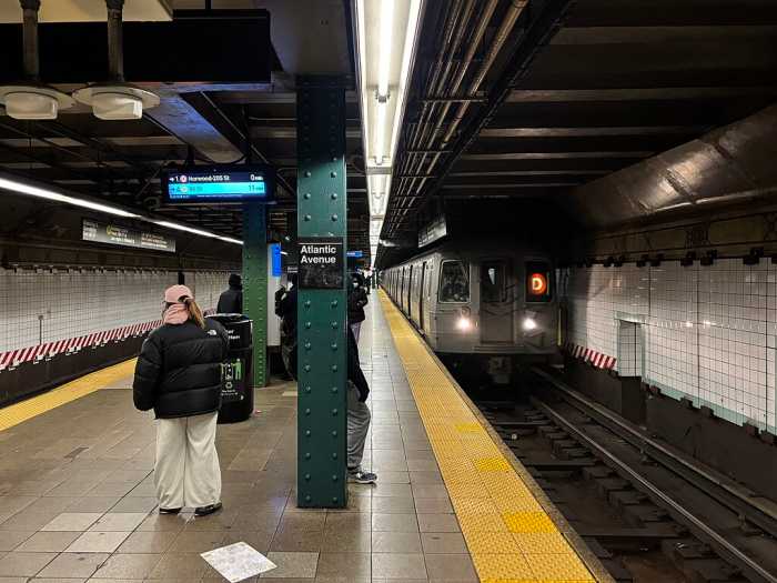
Straphangers can still ride the L train locally in Brooklyn between the Bedford Avenue and Canarsie stations, but will have to find new ways across the East River during the closure.
To mitigate congestion on other subway lines, transit honchos are boosting service on the G, J, M, and Z trains, installing more turnstiles at stations along those lines, and adding cars to elongate G and C trains.
Commuters will be able to transfer freely between the Broadway G station and the JMZ stations at Lorimer and Hewes streets, and between the L station at Livonia Avenue and the 3 station at Junius Street.
As part of the $477-million project — which will rack up $400,000-per-day penalties if it drags beyond its July 2020 deadline — the state-run transportation authority will revamp the Bedford Avenue L station by adding a new staircase and an elevator to make it handicapped-accessible.
And the city’s transportation department will fix up the streets surrounding other Brooklyn stations, including adding new crosswalks at the Nassau Avenue G stop and the Myrtle-Broadway JMZ hub, where the agency will also install more bicycle racks.
Officials will launch a new ferry route between North Williamsburg and the distant isle of Manhattan for commuters who prefer to cross the East River by boat, as well as lay a new bike lane running from the edge of Newtown Creek at Grand Street all the way down to Driggs Avenue for cyclists.
The city will also create a dedicated High Occupancy Vehicle lane across the Williamsburg Bridge that is reserved for cars carrying three or more passengers during a to-be-determined “rush-hour” window, when automobiles carrying two riders or less will be banned from the bridge, except for emergency vehicles and trucks.
And three new bus routes will run from Grand Street and Bedford Avenue over the Williamsburg-to-Manhattan span — all of which will connect to other bus stops and some subway stations along the routes.
But before the city puts more people-movers on busy commercial strips such as Grand Street, transit honchos must rethink their pending purchase of 200 diesel-fueled buses, according to a local pol, who demanded the city swap that fleet with one that is more environmentally friendly.
“It’s practically unacceptable that we even consider anything but electric buses,” said Councilman Antonio Reynoso (D–Williamsburg).
The city’s five-page transit-mitigation packet hinted at other plans for Grand Street, saying it is “looking to make major changes to a street that will serve as a major bus-and-bicycle corridor to the Williamsburg Bridge,” but lacked more concrete information. Transportation honchos conceded that the strip is one of the trickiest pieces of the puzzle, and agreed to meet with business leaders and local pols about proposals within the next few weeks.
“Grand Street remains the biggest piece we need to finalize in our plan. Everyone is anxious to get that right,” said Polly Trottenberg, the head of the Department of Transportation. “We will sit down before end of this year with interested businesses to finalize those plans. We should be able to figure this out.”


