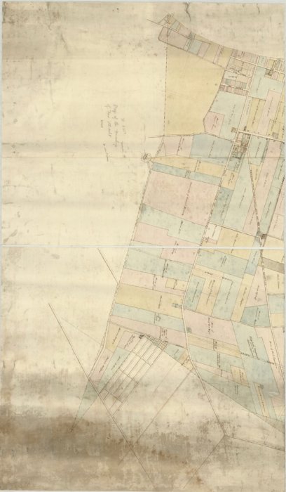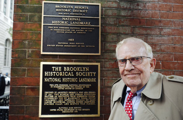
An online map portal launched on July 16 by the Brooklyn Historical Society provides access to hundreds of rare Brooklyn maps dating back to the 1700s, giving viewers a look into the borough’s development over the centuries, according to the project’s creator.
“The most dramatic story that these maps show is the evolution of Brooklyn from this primarily agricultural place of villages to then, over the course of the 19th century, becoming increasingly urban,” said Maggie Schreiner, the manager of archives and special collections, and the project’s co-director. “That story is very clear in these maps.”

The online database, which includes nearly 1,500 maps from across the state, allows viewers to sort through fragile, one-of-a-kind artifacts from the Society’s archives, many of which have not been displayed publicly for several decades, Schreiner said.
“Hundreds of the maps that are included in the portal are manuscript maps, so they’re hand-drawn maps,” she said. “Many of these maps are very large format, they’re very fragile, so they’re quite hard to pull for researchers in our reading room.”
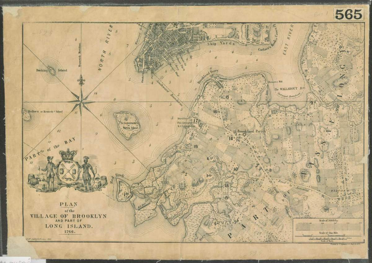
Some of the collection’s oldest maps include rare British surveys of the territory before the Revolutionary War, and maps from before the city of Brooklyn was incorporated into New York City in 1834, Society reps said in a statement.
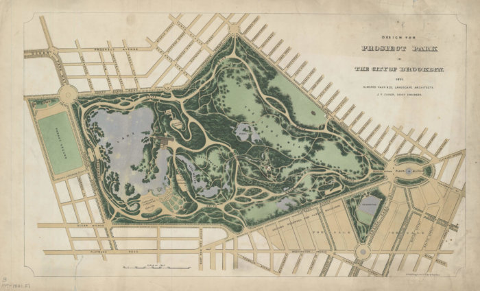
Brooklynites can sort through the portal’s nearly 900 Brooklyn maps by location, allowing them to view their neighborhood as it looked more than 100 years ago, and to see the changes to its transportation networks and population.
Users can also search by topic or genre to find a range of transportation maps, political maps, topographical maps, and cultural maps, among other more specific topics.
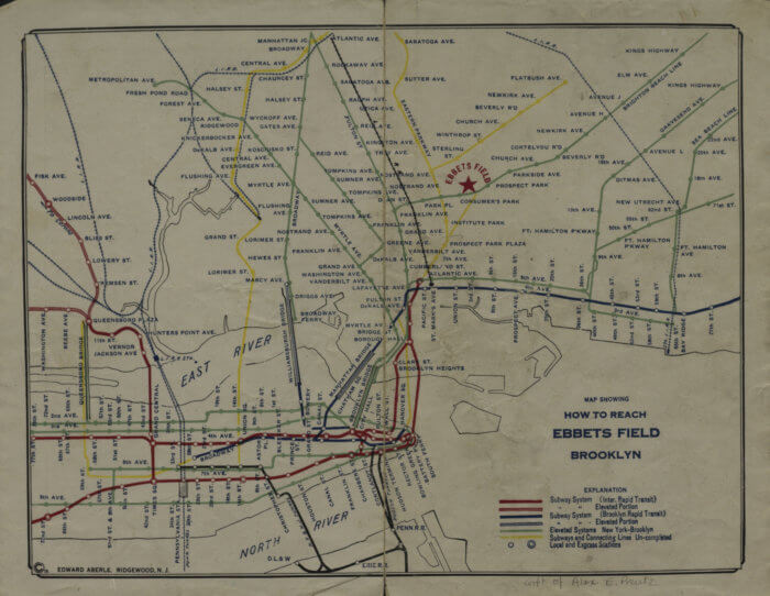
Some of the portal’s most popular maps show old public transportation routes, Schreiner said.
“One of the maps that’s been really popular the first couple days is a map that shows how to get to Ebbets Field from 1919 — that stadium where the Brooklyn Dodgers played,” she said.
Staffers at the Brooklyn Historical Society worked on the portal project for more than two years, restoring the maps, sending them to New Jersey to be digitized, and locating them on a present-day grid using mapping software, Schreiner said.
“To digitize the maps, we did that in New Jersey … that was a big undertaking,” she said. “We also GIS-located every single map, so if you look up every single map it shows a location box that shows the present day location of where that map is.”
The Brooklyn Historical Society — which unveiled an online portal a few years ago with more than 1,200 oral histories from across the borough — has turned to digitization to expand access to its collections so that academics and inquisitive Brooklynites can take a peek into the borough’s history.
“Our goal was to create a portal that will be used by the full range of people,” said Schreiner, who added that the Society prioritizes digitizing collections that are difficult to display in person. “It’s a tool for those doing academic research, but also a place for those curious about their streets and neighborhoods. Anyone can visit and take a journey.”
You can visit the online map portal here.